|
|
||||
|
|
||||
|
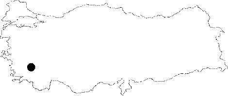
Kaklik |
||||
|
For cave maps and drawings please click on the picture... |
For photographs please click on the photo... |
|||
|
 |
|||
|
Type: |
Horizontal Cave | |||
|
Altitude: |
515 m | |||
|
Depth: |
-17.65 m | |||
|
Length: |
465 m | |||
|
Region: |
Aegean | |||
|
Province: |
Denizli | |||
|
District: |
Honaz | |||
|
Village: |
||||
|
|
||||
 |
||||
| Location: It lies on the 25th km of the Denizli-Burdur highway. |
| Structural Properties and formation : Formed as a result of the collapse of the underground cavity carved out by a big underground creek; it has very interesting characteristics. There is a huge travertine block inside the cave; which has a ponor formation. Alike Pamukkale travertines; these travertines were formed by the Kokarhamam Spring (Haydarbaba Spring) falling over the rocks. Development of travertines comprising pools in steps still continues. The waters; also; leaking from the northern wall of the cave like small falls form wall travertines at several places. With a circle-like large mouth; majority of the Kaklik Cave receives sunlight; which resulted in growth of algae and small ivy on the walls. Having various colors during the daytime; these plants provide an interesting aesthetic view. It is adorned with dripstones; stalactites and stalagmites; all unique in beauty. Abundant thermal water is present in the cave; of which clear; colorless and sulphure-smelling water is known to cure some dermatological problems. The length was traversed to be 465 m together with the tunnels opened by DSI. There is a stream with a high rate of sulphur. Explored upon the request of the Governership of Denizli; it is a show cave now. |
| Research History: It was explored by the Cave Research Club of the Dokuz Eylül University in 2000. |
| Findings: |