|
|
||||
|
|
||||
|
Kadirinbogazi |
||||
|
For cave maps and drawings please click on the picture... |
For photographs please click on the photo... |
|||
|
 |
|||
|
Type: |
Horizontal Cave | |||
|
Altitude: |
1130 m | |||
|
Depth: |
-7.5 m | |||
|
Length: |
23.5 m | |||
|
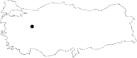
Region: |
Marmara | |||
|
Province: |
Bilecik | |||
|
District: |
Osmaneli | |||
|
Village: |
Besevler | |||
|
|
||||
 |
||||
| Location: It can be reached from the Besevler Village at 16th km of the Iznik-Osmaneli (or Pamukova) motorway. The stabilized road leading to the Sariyazi-Adliye villages extends until the southern skirts of the highlands where the Aluc Plateau is located. The cave is hardly reached by a 45 minute walk through a steep slope. |
| Structural Properties and formation : It was formed within the Jura aged limestones along a pronounced joint. It consists of two interconnected small galleries. Located in the vadose zone; it is completely dry. |
| Research History: It was explored and mapped by MTA; and published in 1997. |
| Findings: |