|
|
||||
|
|
||||
|
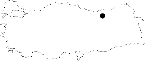
Kabanbasi |
||||
|
For cave maps and drawings please click on the picture... |
For photographs please click on the photo... |
|||
|
 |
|||
|
Type: |
Horizontal Cave | |||
|
Altitude: |
1540 m | |||
|
Depth: |
-4.5 m | |||
|
Length: |
111 m | |||
|
Region: |
Black Sea | |||
|
Province: |
Gümüshane | |||
|
District: |
Merkez | |||
|
Village: |
Kabanbasi | |||
|
|
||||
 |
||||
| Location: It can be reached from Gümüshane by car passing through the quarters of Yuvanet-Sismanli-Arsa-Kabanbasi or by a 1 hour walking through the pathway leading to the Kabanbasi Quarter from the Eskibaglar Quarter. |
| Structural Properties and formation : It is a spring type of fossil cave; which was developed horizontally. It was formed within the highly fractured and jointed Malm Lower Cretaceous limestones. The walls of the cave; which becomes narrower onward; are partly adorned with dripstone decorations. The floor is covered sometimes by rocky blocks and sometimes by earth and guano. It is dry in all seasons |
| Research History: It was explored by MTA in 1991. |
| Findings: Bats were seen. |