|
|
||||
|
|
||||
|
Inönü Yaylasi |
||||
|
For cave maps and drawings please click on the picture... |
For photographs please click on the photo... |
|||
|
 |
|||
|
Type: |
Horizontal Cave | |||
|
Altitude: |
1060 m | |||
|
Depth: |
-7.5 m | |||
|
Length: |
41 m | |||
|
Region: |
Marmara | |||
|
Province: |
Sakarya | |||
|
District: |
Pamukova | |||
|
Village: |
Hüseyinler | |||
|
|
||||
 |
||||
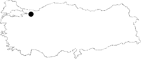
| It can be reached from Mekece on the Bilecik-Istanbul motorway. A smooth stabilized road passing through the Akcakaya-Kemaliye-Hüseyinli-Inönü Plateau leads near to the cave. It was explored and mapped by MTA; and published in 1997. |
| Location: |
| Structural Properties and formation : |
| Research History: |
| Findings: |