|
|
||||
|
|
||||
|
Inkaya |
||||
|
For cave maps and drawings please click on the picture... |
For photographs please click on the photo... |
|||
|
 |
|||
|
Type: |
Horizontal Cave | |||
|
Altitude: |
m | |||
|
Depth: |
m | |||
|
Length: |
86 m | |||
|
Region: |
Marmara | |||
|
Province: |
Balikesir | |||
|
District: |
Sindirgi | |||
|
Village: |
Yerki | |||
|
|
||||
 |
||||
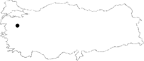
| Location: It lies on the southeastern slope of the valley at the Balkaya Mevkii at 36th km of the Balikesir-Akhisar motorway. It can be easily seen from the restaurant on the left side of the road. |
| Structural Properties and formation : It has two entrances where the branches combine after 20 m. As shown in the map; there is a small chimney on the ceiling near the combination on the right side. The right branch can be passed by crawling. The end of this gallery is too narrow to access due to the deposits. It is in the maturity phase and poor in decorations; and the floor is covered by soil and guano. |
| Research History: It was explored by BUMAK in 1986; and mapped to the BCRA 4c standard. |
| Findings: BUMAK reported bats and many black bugs with a size of 2-3 cm; for which they couldn't make any study on species. |