|
|
||||
|
|
||||
|
Inkaya |
||||
|
For cave maps and drawings please click on the picture... |
For photographs please click on the photo... |
|||
|
 |
|||
|
Type: |
Cave | |||
|
Altitude: |
1145 m | |||
|
Depth: |
-11.5 m | |||
|
Length: |
60 m | |||
|
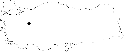
Region: |
Marmara | |||
|
Province: |
Bilecik | |||
|
District: |
Yenipazar | |||
|
Village: |
Karahasanlar | |||
|
|
||||
 |
||||
| Location: It is located on the upper right slope of the narrow and deep canyon; to the south of the Karahasanlar Village; of the Harman Köy Creek; which is a branch of the Sakarya River. Karahasanlar Village is reached by a 6 km road deviating to south from Esenköy at 12th km of the road running to Gölpazari from Yenipazar. From the village; a 15 minute walk is required to reach to the cave. |
| Structural Properties and formation : It was formed within the Jura Lower Cretaceous Bilecik limestones. It consists of a single gallery (40x44 m); and the roof height reaches up to 40 m. |
| Research History: It was explored and mapped by MTA. |
| Findings: It had probably been inhabited in ancient times. The bottom is covered with a thick fossil soil. There are some small engravings and scrapings on the walls. |