|
|
||||
|
|
||||
|
Inhisaralti |
||||
|
For cave maps and drawings please click on the picture... |
For photographs please click on the photo... |
|||
|
 |
|||
|
Type: |
Horizontal Cave | |||
|
Altitude: |
345 m | |||
|
Depth: |
-2; +5 m | |||
|
Length: |
80 m | |||
|
Region: |
Marmara | |||
|
Province: |
Bilecik | |||
|
District: |
Inhisar | |||
|
Village: |
Merkez | |||
|
|
||||
 |
||||
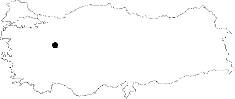
| Location: It is located on the northern slope of the Inkaya Hill (515 m) facing Sakarya River; to the immediate south of the Inhisar District; northwest of Eskisehir. It can be reached from the Bilecik-Sögüt-Inhisar-Saricakaya or Eskisehir-Sögüt-Inhisar and Eskisehir-Sarikaya-Mihalgazi-Inhisar motorways. A road leads near to the cave. |
| Structural Properties and formation : Geomorphologically it is a part of a similar system with the Inhisar Cave. It was developed horizontally in the north-south direction. It has two entrances; one natural; and another man-made. There are stalactites; stalagmites; column and and drapery dripstones at several sections. Located in the vadose zone; it is a fossil cave which halted its development. Therefore; it has no connection with underground waters. |
| Research History: It was explored by MTA; and its map and other characteristics were published in 2001. |
| Findings: Like the Inhisar Cave; abundant number of bats inhabit the cave. |