|
|
||||
|
|
||||
|
Incirlikuyu |
||||
|
For cave maps and drawings please click on the picture... |
For photographs please click on the photo... |
|||
|
 |
|||
|
Type: |
Horizontal Cave | |||
|
Altitude: |
410 m | |||
|
Depth: |
-58 m | |||
|
Length: |
206 m | |||
|
Region: |
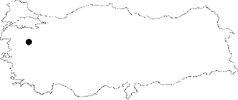
Marmara | |||
|
Province: |
Balikesir | |||
|
District: |
Kepsut | |||
|
Village: |
Akçakertil | |||
|
|
||||
 |
||||
| Location: It lies on the left edge of the deep canyon of the Kille Cayi Valley; 2 km north of the Akcaertil Village; 25 km southeast of Kepsut. A smooth stabilized road from Kepsut or Dursunbey leads near to the cave. It further requires a half an hour walking. |
| Structural Properties and formation : It is a fossil cave started to be formed during the Pliocene age and halted its development. The entrance is a 1.4 m shaft. The bottom is inclined toward the east and west. Near the end points; there are stalactites; stalagmites and wall dripstones. |
| Research History: It was explored and mapped by MTA; and published in 1997. |
| Findings: Colonies of bats inhabit the cave in the eastern and western parts in respect to the entrance chimney. |