|
|
||||
|
|
||||
|
Incikini |
||||
|
For cave maps and drawings please click on the picture... |
For photographs please click on the photo... |
|||
|
 |
|||
|
Type: |
Cave | |||
|
Altitude: |
1424 m | |||
|
Depth: |
-11 m | |||
|
Length: |
173 m | |||
|
Region: |
Central Anatolia | |||
|
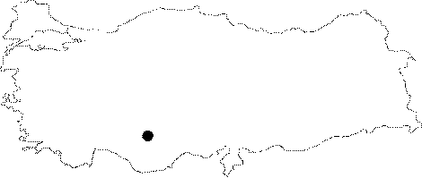
Province: |
Karaman | |||
|
District: |
Ayranci | |||
|
Village: |
Üçharman | |||
|
|
||||
 |
||||
| Location: It is located on the southern slope of Güney Mountain; 20 km southeast of Ayranci District; in Karaman Province. It is located on the edge of Çevlik Stream which is a branch of Divle Stream; the largest river in the region. |
| Structural Properties and formation : Incikini which is 10-15 m above the Çevlik Stream basin; which is a branch of Ayranci (Divle) Stream; 420 m above the Konya Plateau; at 1424 m altitude; is a cave that extends making sharp elbow turns. The cave is 1.5-20 m wide; and 1-8 m high. It has a large (7 m) mouth facing the south direction; and consists of galleries making sharp elbow turns towards east and west; in accordance with the directions and dips of the fracture system layers of the limestones. The basin of the sections near the entrance is covered with soil; pebbles; and blocks. The cave is mostly filled with stalactites; stalagmites; columns; bacon rinds; curtains; and eccentrics. Additionally as a result of the waters dripping from the ceiling little ponds were created in the last sections of the main gallery. It is a horizontally developed fossil cave. |
| Research History: It was researched by the Geological Studies Department of MTA General Directorate; and published in 2005. |
| Findings: |