|
|
||||
|
|
||||
|
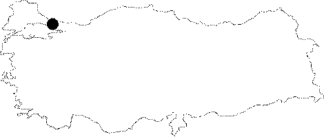
Ikitelli |
||||
|
For cave maps and drawings please click on the picture... |
For photographs please click on the photo... |
|||
|
 |
|||
|
Type: |
Cave | |||
|
Altitude: |
m | |||
|
Depth: |
m | |||
|
Length: |
m | |||
|
Region: |
Marmara | |||
|
Province: |
Istanbul | |||
|
District: |
Halkali | |||
|
Village: |
||||
|
|
||||
 |
||||
| It was closed when the bulldozers pushed the excavated soil toward its mouth during the construction of the Ikitelli Industrial Estate. It was explored and mapped by French caver; E. Gilli in 1984. |
| Location: |
| Structural Properties and formation : |
| Research History: |
| Findings: |