|
|
||||
|
|
||||
|
Ikisu |
||||
|
For cave maps and drawings please click on the picture... |
For photographs please click on the photo... |
|||
|
 |
|||
|
Type: |
Horizontal Cave | |||
|
Altitude: |
1600 m | |||
|
Depth: |
-17;+4 m | |||
|
Length: |
475 m | |||
|
Region: |
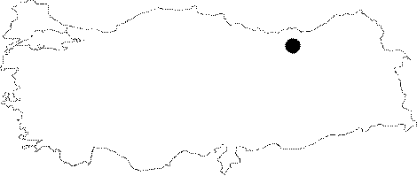
Black Sea | |||
|
Province: |
Gümüshane | |||
|
District: |
Torul | |||
|
Village: |
Ikisu | |||
|
|
||||
 |
||||
| Location: It is located on a rocky cliff above the Bahcecik quarter of the Ikisu Village on the Torul-Gümüshane road. It can be reached by a 1.5-2 hour walk from the village; but the mouth on a cliff makes it difficult to access. |
| Structural Properties and formation : It was formed within the Malm-Lower Cretaceous limestones along with a remarkable fault line. There is an obvious elevation difference between the karstic base level near the cave and the morphological base level. It is entirely dry except a few pools formed by the waters leaking from the roof. It is adorned with highly rich decorations. |
| Research History: It was explored and mapped by MTA in 1991. It takes place in the registered archaeological sites list prepared by Ministry of Culture and Tourism. |
| Findings: Bats and guano deposits were seen. |