|
|
||||
|
|
||||
|
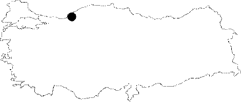
Ihsaniye |
||||
|
For cave maps and drawings please click on the picture... |
For photographs please click on the photo... |
|||
|
 |
|||
|
Type: |
Horizontal Cave | |||
|
Altitude: |
60 m | |||
|
Depth: |
+26 m | |||
|
Length: |
728 m | |||
|
Region: |
Black Sea | |||
|
Province: |
Zonguldak | |||
|
District: |
Merkez | |||
|
Village: |
Ihsaniye | |||
|
|
||||
 |
||||
| Location: The Kozlu-Güney-Ihsaniye-Kozlu Dam motorway leads near to the cave. It can be reached by a 15 minute walk following the pathway in the creek from the village of Ihsaniye. Next to it lies the Kücük Ihsaniye Cave. |
| Structural Properties and formation : Being a horizontally developed spring cave; it was formed within the Visean aged limestones very suitable for karstification. |
| Research History: It was explored and mapped by MTA. |
| Findings: The forms of life found are milipedes; cave flies and guanobies in the entrance zone. |