|
|
||||
|
|
||||
|
Hokurdan |
||||
|
For cave maps and drawings please click on the picture... |
For photographs please click on the photo... |
|||
|
 |
|||
|
Type: |
Vertical Cave | |||
|
Altitude: |
1100 m | |||
|
Depth: |
-68 m | |||
|
Length: |
m | |||
|
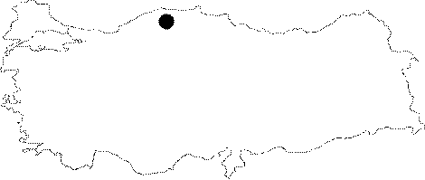
Region: |
Black Sea | |||
|
Province: |
Kastamonu | |||
|
District: |
Küre | |||
|
Village: |
Ikizciler | |||
|
|
||||
 |
||||
| Location: It can be reached by turning at the signboard of the Ikizciler Village at the exit of Küre; and then going uphill after the first deviation on the left. The forest road which takes around 40 minutes leads to the quarter of Abut. Then; a 20 minute walk is required toward the northwest to reach to the Abut Kayasi. The cave is located slightly down the Abut Kayasi Hill; 20 m inward the small forest. |
| Structural Properties and formation : The mouth of the entrance surrounded by soil and roots of trees and the south wall by rocks; it is a 15x10 m shaft. It becomes narrower down to 2-3 m after 50 m; and then enlarges again like a cone. It ends up with a 15x10 m hall where there is a hillock in the middle; consisting of debris and rocks. |
| Research History: The exploration which was initiated in 1987 by MAD was completed in 1992; and it was mapped to the BCRA 3c standards. |
| Findings: |