|
|
||||
|
|
||||
|
Hizar |
||||
|
For cave maps and drawings please click on the picture... |
For photographs please click on the photo... |
|||
|
 |
|||
|
Type: |
Horizontal Cave | |||
|
Altitude: |
m | |||
|
Depth: |
m | |||
|
Length: |
525 m | |||
|
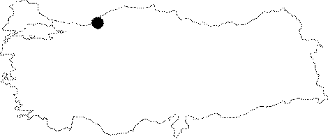
Region: |
Black Sea | |||
|
Province: |
Karabük | |||
|
District: |
Safranbolu | |||
|
Village: |
Gayze | |||
|
|
||||
 |
||||
| Location: It is located on the northern side of the Mencilis Massif; 20 km north of Safranbolu on the Karabük-Zonguldak motorway. Its square entrance on the fascinating steep rocks can be seen from the road. It is the upper entrance; there are also two more big entrances behind the cave. |
| Structural Properties and formation : It is a horizontally developed fossil cave. Entered through a big mouth; it consists of a main gallery and two side passages. The branch in the first passage on left leads into a siphon where the water is collected. Immediately 50 m under the mouth of the cave lies a spring drainage; upsurging by a siphon. The siphon inside the cave is probably connected to the main gallery by a shaft. |
| Research History: The British Trent Polytechnic explored the cave during the speleological excursion in 1978 and mapped it. It was also explored by M. Meyssonnier and his team; and mapped to the 1a standard in 1978. |
| Findings: |