|
|
||||
|
|
||||
|
Hirsizini |
||||
|
For cave maps and drawings please click on the picture... |
For photographs please click on the photo... |
|||
|
 |
|||
|
Type: |
Horizontal Cave | |||
|
Altitude: |
480 m | |||
|
Depth: |
-3.5 m | |||
|
Length: |
9 m | |||
|
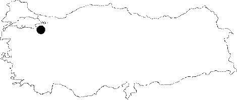
Region: |
Marmara | |||
|
Province: |
Bursa | |||
|
District: |
Mustafakemalpasa | |||
|
Village: |
Kocakoru | |||
|
|
||||
 |
||||
| Location: It lies across the Deliktas Ridge between the Kocakoru and Sinansarnic Villages. Situated near the Mustafakemalpasa-Sögütalan-Bursa highway; it is accessible from both villages. A road leads near to the cave. |
| Structural Properties and formation : It was formed within the Jura Lower Cretaceous aged limestones. It is located on the right bank of the Kuzgunkaya Creek; joining to the Catak Creek which is a branch of the Koca Creek flowing through the valleys buried to the south of the Sögütalan Plateau on the southwestern end of the Emedük Polje. The creek can not reach fully to the polje. It is a sinkhole type of fossil cave; which halted its development. It is partly adorned with dripstones on the side walls. Located in the vadose zone; it is dry in all seasons. |
| Research History: It was explored and mapped by MTA; and published in 1997. |
| Findings: |