|
|
||||
|
|
||||
|
Hamambogazi |
||||
|
For cave maps and drawings please click on the picture... |
For photographs please click on the photo... |
|||
|
 |
|||
|
Type: |
Horizontal Cave | |||
|
Altitude: |
880 m | |||
|
Depth: |
-63 m | |||
|
Length: |
102 m | |||
|
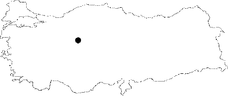
Region: |
Central Anatolia | |||
|
Province: |
Ankara | |||
|
District: |
Ayas | |||
|
Village: |
Oltan | |||
|
|
||||
 |
||||
| Location: A turn to left is made 10 m before the bridge at 48th km of the Ayas-Polatli motorway. First a creek bed; then a pathway leads to the skirt of the hill where the cave is located. It is 60 m high from the creek; and the entrance faces west. It is also called Cingirlikuyu. |
| Structural Properties and formation : It starts with a 1.5 m wide entrance; immediately leading into a wide hall. The first descent is reached after a 10 m gallery with 25 degrees incline. This 1.2 m descent leads to the start of a second descent through a gallery of 15 m incline. The second descent reaches to a wide hall. The left side divides into two branches on the right. The one on the right leads into a small room after 15 m through a 10 m steep descent while the other one which is 1 m wide extends downward; and ends up with a wide hall. |
| Research History: It was explored and mapped by MAD in 1993. |
| Findings: There is a structure of 3x4 m and 1.5 m high in the middle of the hall; which is probably a burial chamber. It is empty and the bottom was broken by treasure hunters. The walls of the room; which was built by bond; were daubed. The potsherds collected from the cave were analysed at DTCF and dated back to the Hittite and Roman periods. |