|
|
||||
|
|
||||
|
Haci Hasan Yurdu Düdeni |
||||
|
For cave maps and drawings please click on the picture... |
For photographs please click on the photo... |
|||
|
 |
|||
|
Type: |
Vertical Cave | |||
|
Altitude: |
m | |||
|
Depth: |
-17 m | |||
|
Length: |
m | |||
|
Region: |
Mediterranean | |||
|
Province: |
Mersin | |||
|
District: |
Silifke | |||
|
Village: |
Narlikuyu | |||
|
|
||||
 |
||||
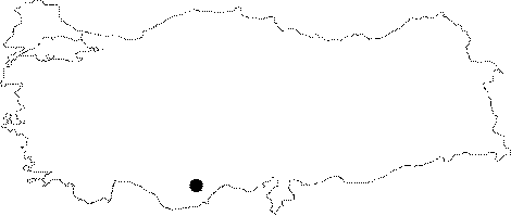
| Location: It is located 1 km northwest of the church remains in the quarter of Haci Hasan Yurdu; about 3-4 km far from the Cennet and Cehennem Pits. |
| Structural Properties and formation : Local people informed that the water flowing from the neighbourhood sinks at that point during rainy seasons; and it forms lakes from time to time. Traces of the current can be observed in the mouth. At the clay-coated bottom; there are joints where water can penetrate through. |
| Research History: It was explored by MAD in 1992; and mapped to the 1a standard. |
| Findings: |