|
|
||||
|
|
||||
|
Güvercinlik |
||||
|
For cave maps and drawings please click on the picture... |
For photographs please click on the photo... |
|||
|
 |
|||
|
Type: |
Vertical Cave | |||
|
Altitude: |
1100 m | |||
|
Depth: |
-69 m | |||
|
Length: |
m | |||
|
Region: |
Aegean | |||
|
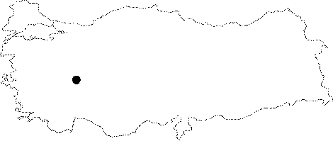
Province: |
Afyonkarahisar | |||
|
District: |
Sultandag | |||
|
Village: |
Yesilçiftlik | |||
|
|
||||
 |
||||
| Location: It can be reached from the Yesilciftlik Village through the Afyon-Aksehir highway; from there a road leads to the cave. The hill between the Eber and Aksehir Lakes is reached following about a 150 m climbing. The cave is located on that hill at the Demirciler Mevkii. |
| Structural Properties and formation : It starts like a 2 m wide and 13 m long cleavage. The first station is reached through a 15 m descent. which is followed by a 21 m descent into a narrow hall. It continues along with the same joint; and ends up with a small hall. There is a blind branch of 5x6 m almost 4 m above this hall. |
| Research History: It was explored by MAD in 1994; and mapped to the BCRA standard. |
| Findings: |