|
|
||||
|
|
||||
|
Güvercin Ini |
||||
|
For cave maps and drawings please click on the picture... |
For photographs please click on the photo... |
|||
|
 |
|||
|
Type: |
Vertical Cave | |||
|
Altitude: |
1230 m | |||
|
Depth: |
-30 m | |||
|
Length: |
53 m | |||
|
Region: |
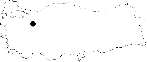
Central Anatolia | |||
|
Province: |
Eskisehir | |||
|
District: |
Saricakaya | |||
|
Village: |
||||
|
|
||||
 |
||||
| Location: It lies on the Saricakaya Plateau together with Afarin Sinkhole and Sarikiz Ponor. It is situated 1.5 km northeast of the Afarin Sinkhole. |
| Structural Properties and formation : It was formed vertically within the Jura Lower Bilecik limestones. Due to the impermeable units serving as karstic floor surface; underlying the limestones; it couldn't have developed further. The entrance is like a shaft of 9x5 m. It also has two more entrances at -25 and -15 m. The bottom is covered by big blocks and debris. It is located on the vadose zone; and it is a fossil cave which halted its development. |
| Research History: It was explored by MTA; and its map and other characteristics were published in 2001. |
| Findings: |