|
|
||||
|
|
||||
|
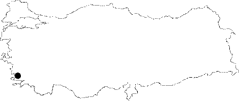
Güvercin Ini |
||||
|
For cave maps and drawings please click on the picture... |
For photographs please click on the photo... |
|||
|
 |
|||
|
Type: |
Vertical Cave | |||
|
Altitude: |
m | |||
|
Depth: |
-56 m | |||
|
Length: |
m | |||
|
Region: |
Aegean | |||
|
Province: |
Mugla | |||
|
District: |
Kavaklidere | |||
|
Village: |
Kilinç | |||
|
|
||||
 |
||||
| It lies to the west of the plateau houses at Kilinc Mevkii. A half an hour walk and climb is required in order to reach to the cave from Kilinc Mevkii. It was explored and mapped by BUMAK in 1987. It was revisited by BUMAK in 1988. The narrow hole at -22 m which couldn't have been passed through during the 1987 exploration was enlarged by hammer so that the rest of the cave could have been explored. Unlike expectations; there was no descent of 100 m after -19 m; and the cave ended up following two descents of 25 and 9 m respectively. It was found that the stones thrown at the crack on the wall of the last room fell 5 seconds later. It is completely at the fossil stage. At the last descent; sparkling crystals were found on the wall as well as cave pearls on the room's floor. |
| Location: |
| Structural Properties and formation : |
| Research History: |
| Findings: |