|
|
||||
|
|
||||
|
Güvercinini Magarasi |
||||
|
For cave maps and drawings please click on the picture... |
For photographs please click on the photo... |
|||
|
 |
|||
|
Type: |
Cave | |||
|
Altitude: |
1543 m | |||
|
Depth: |
-40 m | |||
|
Length: |
187 m | |||
|
Region: |
Central Anatolia | |||
|
Province: |
Karaman | |||
|
District: |
Merkez | |||
|
Village: |
Aybasti | |||
|
|
||||
 |
||||
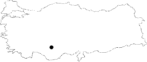
| Location: It is located near the 10 km long road to Tabanli Village which passes by Aybasti Village from Karaman Province Center. There are many caves in the region. |
| Structural Properties and formation : Güvercin Düdeni is a horizontally extending passage type cave. The cave has a vertical chimney type entrance; and a grill type structure; or wavy structure in accordance with the layer declination and the fracture system of the limestones. The Ğ6 m deep entrance which was formed by the collapse of the cave ceiling; opens into a large hall. The hall interconnects with the other halls in SW; and SE directions; through partially steep descents; and narrow galleries. The narrow galleries between the halls were mostly formed by dripstone columns. Inside the cave which is 1-6 m high; there are depression blocks along with extremely beautiful dripstones (stalactites; stalagmites; columns; bacon rinds; eccentrics; and helictites). The main cave development direction is towards the southwest (Göksu River). |
| Research History: It was researched by the Geological Studies Department of MTA General Directorate; and published under the name Güvercinini Magarasi in 2005. |
| Findings: |