|
|
||||
|
|
||||
|
Gürleyiksuyu |
||||
|
For cave maps and drawings please click on the picture... |
For photographs please click on the photo... |
|||
|
 |
|||
|
Type: |
Cave | |||
|
Altitude: |
645 m | |||
|
Depth: |
-20 m | |||
|
Length: |
44 m | |||
|
Region: |
Marmara | |||
|
Province: |
Sakarya | |||
|
District: |
Tarakli | |||
|
Village: |
Mahdumlar | |||
|
|
||||
 |
||||
| It is located in the Hirka Village; 2 km south of Geyve; below the Domdom Rock. It is also known as Gürlevik Cave. |
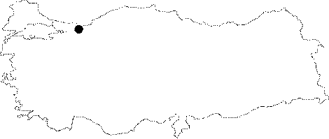
| Location: It is situated at the slope of Gürleyik Hill; on the east bank of Gürleyiksuyu Stream; which empties into Göynük Brook; near Mahdumlar Village; 8 km NE from Tarakli District; which is 70 km south of Adapazari Province. |
| Structural Properties and formation : It is a half horizontally-half declining; sinkhole type; fossil cave generally in NE-SW direction. Besides the main entrance; it has 4 chimney type vertical entrances; and its basin is covered with fossil soil; sand; and debris. Since the last section is blocked with that material; the active section which is the extension of the stream below; could not be accessed. There are no dripstone formations in the cave. |
| Research History: It was researched by the Geological Studies Department of MTA General Directorate; and published in 2002. |
| Findings: Presence of bats and flies were observed at the cave entrance. |