|
|
||||
|
|
||||
|
Gürlevik |
||||
|
For cave maps and drawings please click on the picture... |
For photographs please click on the photo... |
|||
|
 |
|||
|
Type: |
Horizontal Cave | |||
|
Altitude: |
m | |||
|
Depth: |
m | |||
|
Length: |
2500 m | |||
|
Region: |
Central Anatolia | |||
|
Province: |
Karaman | |||
|
District: |
Merkez | |||
|
Village: |
Taskale | |||
|
|
||||
 |
||||
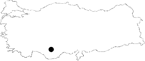
| Location: It lies on the slope across the valley where the Taskale town is located; 45 km southeast of Karaman. |
| Structural Properties and formation : Formed within the Miocene limestones; it is hydrologically active; housing a big underground creek. Therefore; there are lakes with big siphons. |
| Research History: The part which was explored is 2500 m; and it consist of two levels; some parts being interconnected [Güngör-Gülez 1992:18]. It was explored by F. Krieg and his team in 1990 who advanced nearly 2000 m; and reached to the Gürlevik Cave behind by diving [Niggemann-Fischer 1993:76]. |
| Findings: An animal form resembling a very small wood louse; called Troglobitic isopode; and radinit were seen [Basar 1968a:19;22 - Basar 1977:24-25]. |