|
|
||||
|
|
||||
|
Fanta |
||||
|
For cave maps and drawings please click on the picture... |
For photographs please click on the photo... |
|||
|
 |
|||
|
Type: |
Horizontal Cave | |||
|
Altitude: |
180 m | |||
|
Depth: |
-22 m | |||
|
Length: |
15 m | |||
|
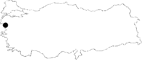
Region: |
Marmara | |||
|
Province: |
Balikesir | |||
|
District: |
Manyas | |||
|
Village: |
Söve | |||
|
|
||||
 |
||||
| It was explored by BUMAK; and called Fanta. The bottom can be reached by four short descents. It consists of a narrow and vertical gallery which ends up by narrowing. It is entirely dry; and no remarkable decoration was seen. |
| Location: |
| Structural Properties and formation : |
| Research History: |
| Findings: |