|
|
||||
|
|
||||
|
Esekçukuru 2 |
||||
|
For cave maps and drawings please click on the picture... |
For photographs please click on the photo... |
|||
|
 |
|||
|
Type: |
Horizontal Cave | |||
|
Altitude: |
m | |||
|
Depth: |
m | |||
|
Length: |
423 m | |||
|
Region: |
Black Sea | |||
|
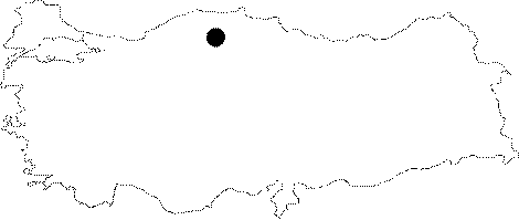
Province: |
Kastamonu | |||
|
District: |
Pinarbasi | |||
|
Village: |
Uzla | |||
|
|
||||
 |
||||
| The small basin lying to the northeast of the Esekcukuru 1 basin was called Esekcukuru 2 by BUMAK. Being an active cave with a horizontal character; it can be entered from the fossil branch which is 5-6 m above. The creek draining the waters of the basin resurges in the cave after a while it sinks. It was explored by BUMAK in 1988; and mapped to the 3b standards. |
| Location: |
| Structural Properties and formation : |
| Research History: |
| Findings: |