|
|
||||
|
|
||||
|
Eskiköyini |
||||
|
For cave maps and drawings please click on the picture... |
For photographs please click on the photo... |
|||
|
 |
|||
|
Type: |
Cave | |||
|
Altitude: |
1230 m | |||
|
Depth: |
-2 m | |||
|
Length: |
75 m | |||
|
Region: |
Central Anatolia | |||
|
Province: |
Karaman | |||
|
District: |
Merkez | |||
|
Village: |
Barutkavuran | |||
|
|
||||
 |
||||
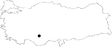
| It is located in the Barutvaran Village of Karaman Province Center. It is a horizontal cave; which was carved into the Miocene aged marn or limestones for settlement purposes. Eskiköyini subterranean city which has two interconnecting northbound; and westbound accesses; is extremely significant in terms of determining the anthropological characteristics of the region. It was researched by the Geological Studies Department of MTA General Directorate; and published in 2005. |
| Location: |
| Structural Properties and formation : |
| Research History: |
| Findings: |