|
|
||||
|
|
||||
|
Emedük Düdeni |
||||
|
For cave maps and drawings please click on the picture... |
For photographs please click on the photo... |
|||
|
 |
|||
|
Type: |
Vertical Cave | |||
|
Altitude: |
509 m | |||
|
Depth: |
-33 m | |||
|
Length: |
47 m | |||
|
Region: |
Marmara | |||
|
Province: |
Bursa | |||
|
District: |
Orhaneli | |||
|
Village: |
Sincansarniç | |||
|
|
||||
 |
||||
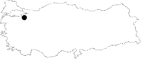
| Location: It lies on the southern edge of the Emedük Plain; 2 km to south of the Sincansarnic Village. A road deviating from the Mustafakemalpasa-Sögütalan-Bursa motorway to the village leads near to the cave. |
| Structural Properties and formation : It was formed along with a northeast-southwest directed fault line within the Jura Lower Cretaceous aged limestones. It has a total of five steep descents; where most was developed over huge depression blocks. The mouth of the entrance is among the blocks; near a big depression doline. Unsettled blocks comprising the steps may constitute a danger. There is no water inflow in the sinkhole; which is located on the former terrace-like base of the polje. |
| Research History: It was explored and mapped by MTA; and published in 1997. |
| Findings: |