|
|
||||
|
|
||||
|
Elmaçayiri |
||||
|
For cave maps and drawings please click on the picture... |
For photographs please click on the photo... |
|||
|
 |
|||
|
Type: |
Horizontal Cave | |||
|
Altitude: |
920 m | |||
|
Depth: |
-10.5 m | |||
|
Length: |
130 m | |||
|
Region: |
Marmara | |||
|
Province: |
Bursa | |||
|
District: |
Inegöl | |||
|
Village: |
Elmaçayir | |||
|
|
||||
 |
||||
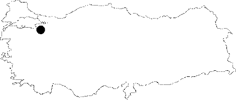
| Location: It lies next to the Elmacayiri Village on the eastern part of Uludag; 20 km to the southwest of Inegöl. It can be reached by a smooth stabilized road interconnecting the Cerrah; Süle and Elmacayiri villages from Inegöl. |
| Structural Properties and formation : On the contact zone of metaphormics overlaying the Menderes Massif with the Permian aged marbles; it was formed horizontally within the marbles. It has a small and narrow entrance. The section at the end of 130 m is at the same level with the entrance; which houses plenty of dripstone pools filled with water. Continuing to grow since the Pliocene epoch; all kinds of dripstone decorations can be seen inside the cave. It houses water throughout the year; and the underground creek disappears without resurging. |
| Research History: It was explored and mapped by MTA; and published in 1997. |
| Findings: A few number of bats were seen. |