|
|
||||
|
|
||||
|
Ejder |
||||
|
For cave maps and drawings please click on the picture... |
For photographs please click on the photo... |
|||
|
 |
|||
|
Type: |
Horizontal Cave | |||
|
Altitude: |
900 m | |||
|
Depth: |
-80 m | |||
|
Length: |
m | |||
|
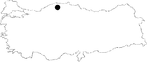
Region: |
Black Sea | |||
|
Province: |
Kastamonu | |||
|
District: |
Pinarbasi | |||
|
Village: |
||||
|
|
||||
 |
||||
| BUMAK reports that it is called "Isputluk Kuylucu" by local people. It was explored by MAD; and re-explored by BUMAK in 2003. It consists of a dom-like big gallery descending to -60 m with a free drop. Following that descent; it reaches to a depth of -80 m in scree. |
| Location: |
| Structural Properties and formation : |
| Research History: |
| Findings: |