|
|
||||
|
|
||||
|
Ecinli |
||||
|
For cave maps and drawings please click on the picture... |
For photographs please click on the photo... |
|||
|
 |
|||
|
Type: |
Vertical Cave | |||
|
Altitude: |
430 m | |||
|
Depth: |
-39.5 m | |||
|
Length: |
46 m | |||
|
Region: |
Marmara | |||
|
Province: |
Bursa | |||
|
District: |
Yenisehir | |||
|
Village: |
Yeniköy | |||
|
|
||||
 |
||||
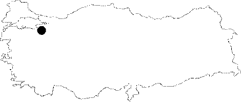
| Location: It lies on the eastern side of the Yenisehir-Gemlik motorway; next to the Yeniköy (Cedit) Village. It can be reached from Gemlik or Yenisehir. |
| Structural Properties and formation : It grew vertically on a remarkable fault line within the Jura Lower Cretaceous aged Bilecik limestones. The limestones are surrounded by underlying the Triassic Karakaya Group and by the Cretaceous impermeable units on sides. Due to faulting on the edge of the fluvio-karstic paleo valley where the Sazli Creek passes through; it grew vertically on an inclining "hum". Developed along with a narrow joint in accordance with the fault it is in; there are rose coral and cauliflower coral on the walls. Situated on a vadose zone; it is a sinkhole type of fossil cave which halted its development. Therefore; it has no interconnection with any underground and ground waters. |
| Research History: It was explored and mapped by MTA; and published in 1997. |
| Findings: |