|
|
||||
|
|
||||
|
DG 61.54.01 / Düden Alani |
||||
|
For cave maps and drawings please click on the picture... |
For photographs please click on the photo... |
|||
|
 |
|||
|
Type: |
Cave | |||
|
Altitude: |
m | |||
|
Depth: |
-165 m | |||
|
Length: |
m | |||
|
Region: |
Mediterranean | |||
|
Province: |
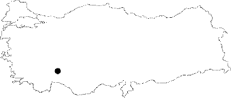
Isparta | |||
|
District: |
Egirdir | |||
|
Village: |
Asagiyaylabel | |||
|
|
||||
 |
||||
| Location: It lies within a significant sinkhole area on the western side of the Dedegöl Mountain; 1 km east to the PTT transmitter on the northeast of Asagiyaylabel Village. It is located at the base of a 10 m rocky wall where the creek draining the sinkhole submerges at. It is easy to find it because a dry creek ends up here. When the snow melts in April; there occurs a high inflow through the hole. Its location is shown on a 1:25000 scale in the report. |
| Structural Properties and formation : It houses a 40 m high and 10 m wide northerly gallery. Water flows southerly. There is a 100x20 m big hall. Absence of mud in the pebbles at the bottom is an indication of water flow. It ends up with a siphon at -165 m. It is suggested that it has a connection with a spring located in Asagiyaylabel (1.5-6 cubic meter/s). It is entirely within conglomerates except the siphon. |
| Research History: It was discovered and mapped in 1993 during the first year of speleological surveys called "Cave 1993-94-95" carried out by the Speleo Club Vertaizonnais. |
| Findings: |