|
|
||||
|
|
||||
|
DG 61.52.03 |
||||
|
For cave maps and drawings please click on the picture... |
For photographs please click on the photo... |
|||
|
 |
|||
|
Type: |
Cave | |||
|
Altitude: |
m | |||
|
Depth: |
-165 m | |||
|
Length: |
m | |||
|
Region: |
Mediterranean | |||
|
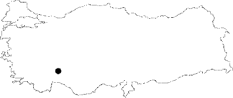
Province: |
Isparta | |||
|
District: |
Aksu | |||
|
Village: |
Eldere | |||
|
|
||||
 |
||||
| Location: It lies at the bottom of a somewhat large doline when advanced toward the north from the entrance of the cave DG 61.52.02; which is located on the southern slope of the Domuz Hill with an altitude of 2251 m to the southwest of the Eldere Village and northwest of the Asagi Yaylabel Village. |
| Structural Properties and formation : Three separate descents starting from the bottom of the doline fork into two diverse shafts at around -100 m. One of them becomes occluded at -165 m while the other at -144 m. There are big rocky blocks in the base of both shafts. |
| Research History: It was discovered and mapped in 1993 during the first year of speleological surveys called "Cave 1993-94-95" carried out by the Speleo Club Vertaizonnais. |
| Findings: |