|
|
||||
|
|
||||
|
Dereçali |
||||
|
For cave maps and drawings please click on the picture... |
For photographs please click on the photo... |
|||
|
 |
|||
|
Type: |
Cave | |||
|
Altitude: |
270 m | |||
|
Depth: |
-16 m | |||
|
Length: |
52 m | |||
|
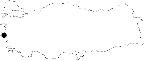
Region: |
Aegean | |||
|
Province: |
Izmir | |||
|
District: |
Buca | |||
|
Village: |
Kiriklarköyü | |||
|
|
||||
 |
||||
| It can be reached from the stabilized road running from the Kiriklar Village to the Aydin-Izmir motorway. It was formed within the Mesozoic aged dolomitic recrystalized limestones. It is adorned with very beautiful decorations. It is a dry cave. It is inhabited by a great colony of bats. |
| Location: |
| Structural Properties and formation : |
| Research History: |
| Findings: |