|
|
||||
|
|
||||
|
Demirin |
||||
|
For cave maps and drawings please click on the picture... |
For photographs please click on the photo... |
|||
|
 |
|||
|
Type: |
Horizontal Cave | |||
|
Altitude: |
1150 m | |||
|
Depth: |
-43 m | |||
|
Length: |
178 m | |||
|
Region: |
Aegean | |||
|
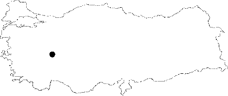
Province: |
Afyonkarahisar | |||
|
District: |
Emirdag | |||
|
Village: |
Dereköy | |||
|
|
||||
 |
||||
| Location: It lies between the Demirin and Ballica villages of the Emirdag District. It is located 1 km far from the Ballica Village; under the slope at the end of the road. |
| Structural Properties and formation : It starts with a 1.5 m high entrance. The bottom is covered with soil and stones while the big hall at the final zone is full with falling rocks. |
| Research History: It was revisited by MAD in 1993 and mapped to the BCRA 3c standard. |
| Findings: |