|
|
||||
|
|
||||
|
Delikönü |
||||
|
For cave maps and drawings please click on the picture... |
For photographs please click on the photo... |
|||
|
 |
|||
|
Type: |
Horizontal Cave | |||
|
Altitude: |
1220 m | |||
|
Depth: |
-29 m | |||
|
Length: |
71 m | |||
|
Region: |
Mediterranean | |||
|
Province: |
Isparta | |||
|
District: |
Atabey | |||
|
Village: |
Gönen | |||
|
|
||||
 |
||||
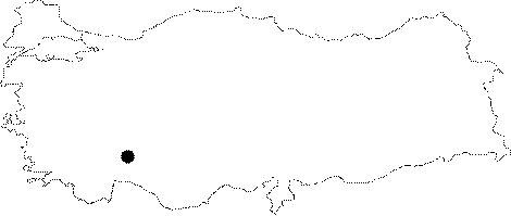
| Location: It is located at the Gerges Ciftligi Mevkii of Gönen Village. It lies on the southern slope of the Delikönü Kaya Hill between Atabey District and Gönen town. It can be reached by off-road vehicle; following the field roads of Atabey. And; it can also be reached by field roads from the villages of Senirce and Gönen. |
| Structural Properties and formation : It was formed within the Middle Miocene aged; gently-dipping limestones and conglomerates. The cave is filled with rocky blocks falling from walls and ceiling. In the section; which was vertically developed due to faulting; only 28 m was passed by crawling inside the joint too narrow to enter. The bottom is covered with mud and guano. It is a dry cave. |
| Research History: Already known by the local people for a long period of time; it was first explored by MTA. |
| Findings: Abundant number of bats inhabit the cave. |