|
|
||||
|
|
||||
|
Degirmenönü |
||||
|
For cave maps and drawings please click on the picture... |
For photographs please click on the photo... |
|||
|
 |
|||
|
Type: |
Horizontal Cave | |||
|
Altitude: |
1310 m | |||
|
Depth: |
-4 m | |||
|
Length: |
24 m | |||
|
Region: |
Mediterranean | |||
|
Province: |
Isparta | |||
|
District: |
Yalvaç | |||
|
Village: |
Kozluçay | |||
|
|
||||
 |
||||
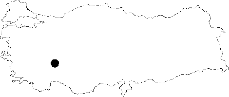
| It is located a little above the mill near the Sugecidi Creek; 1 km northeast of the Kozlucay Town. A road leads near to the cave. It was formed within the Upper Jura aged dolomitic limestones. It is a dry cave. It was explored and mapped by MTA. |
| Location: |
| Structural Properties and formation : |
| Research History: |
| Findings: |