|
|
||||
|
|
||||
|
Dedebayiri |
||||
|
For cave maps and drawings please click on the picture... |
For photographs please click on the photo... |
|||
|
 |
|||
|
Type: |
Vertical Cave | |||
|
Altitude: |
m | |||
|
Depth: |
-22 m | |||
|
Length: |
m | |||
|
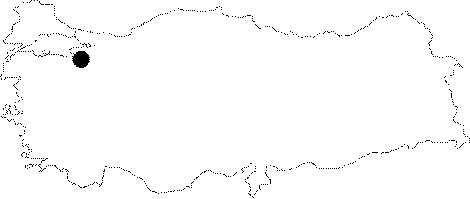
Region: |
Marmara | |||
|
Province: |
Bursa | |||
|
District: |
Iznik | |||
|
Village: |
Hisardere | |||
|
|
||||
 |
||||
| It lies on the top of a softly sloping hill at Dedebayir Mevkii of the Hisardere Village. There are small amount of active white stalactites and coral decorations. It was explored by BUMAK in 1986 and mapped to the BCRA 2a standards. |
| Location: |
| Structural Properties and formation : |
| Research History: |
| Findings: |