|
|
||||
|
|
||||
|
Çukurpinar Düdeni |
||||
|
For cave maps and drawings please click on the picture... |
For photographs please click on the photo... |
|||
|
 |
|||
|
Type: |
Vertical Cave | |||
|
Altitude: |
1880 m | |||
|
Depth: |
-1196 m | |||
|
Length: |
3550 m | |||
|
Region: |
Mediterranean | |||
|
Province: |
Mersin | |||
|
District: |
Anamur | |||
|
Village: |
Olucak | |||
|
|
||||
 |
||||
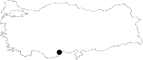
| Location: It is located on the Cukurpinar Plain; close to the Olucak Village; 25 km north of the Anamur District of Mersin. |
| Structural Properties and formation : The active sinkhole of Çukurpinar; which empties the water of a large area; is closed with earth and mud. Main entrance of the cave; which is formed in the massive Miosen calcer formation and lies in vadoze zone; looks like a huge sinkhole with a diameter of 30 m and 110 m depth. First 400 meters of Çukurpinar is nearly vertical. This vertical formation slowly turns to horizontal formation after the first camping ground at -515 m. This formation continues between the descent at -824 m to the Aygen Camp at -1036 m; with long galleries. A branch; which begings at that camp ground is also horizontal. Cave narrows and ends at -1196 m. |
| Research History: Up to -394 m; it was mapped to the BCRA 3c standard in 1989 by BUMAK. In 1992; it was thoroughly explored and mapped to the 3c standard with a total of -1190 m depth and 3550 m length. During the 5th BUMAK survey in 1992; the end part of the main gallery at -1196 m was reached [Susam 1993:36]. During the 6th BUMAK Survey in 1994; four Bulgarian cavers also participated and two galleries were found at 750 m depth [Jalov 1994:33]. The Cukurpinar Sinkhole is still the deepest 35th cave of the world. |
| Findings: |