|
|
||||
|
|
||||
|
Çukurpinar |
||||
|
For cave maps and drawings please click on the picture... |
For photographs please click on the photo... |
|||
|
 |
|||
|
Type: |
Vertical Cave | |||
|
Altitude: |
1880 m | |||
|
Depth: |
m | |||
|
Length: |
61 m | |||
|
Region: |
Mediterranean | |||
|
Province: |
Mersin | |||
|
District: |
Anamur | |||
|
Village: |
Olucak | |||
|
|
||||
 |
||||
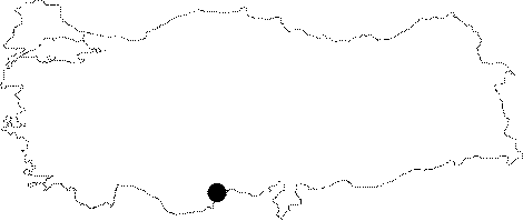
| It is located on the Cukurpinar Plateau near the Olucak Village; 25 km north of the Anamur District of Mersin. It was found on the western slope of the Cukurpinar Plateau during the Cukurpinar Sinkhole expedition. It is a 61 m long horizontal cave with two mouths. It is adorned with beautiful travertines and brocoli-like decorations. It was explored by BUMAK; and a plan was sketched. |
| Location: |
| Structural Properties and formation : |
| Research History: |
| Findings: |