|
|
||||
|
|
||||
|
Çovurmatepe 3-4-5 |
||||
|
For cave maps and drawings please click on the picture... |
For photographs please click on the photo... |
|||
|
 |
|||
|
Type: |
Horizontal Cave | |||
|
Altitude: |
m | |||
|
Depth: |
m | |||
|
Length: |
5; 14; 25 m | |||
|
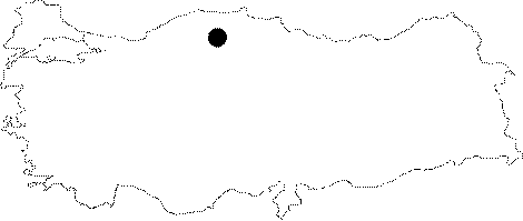
Region: |
Black Sea | |||
|
Province: |
Kastamonu | |||
|
District: |
Pinarbasi | |||
|
Village: |
Uzla | |||
|
|
||||
 |
||||
| Each of these three caves lined up between the Covurmatepe 2 cave and the Esekcukuru 1 Basin to the east is located at the end of a different creek bed. They were explored by BUMAK in 1989; and mapped to the 1a standards. |
| Location: |
| Structural Properties and formation : |
| Research History: |
| Findings: |