|
|
||||
|
|
||||
|
Çovurmatepe 2 |
||||
|
For cave maps and drawings please click on the picture... |
For photographs please click on the photo... |
|||
|
 |
|||
|
Type: |
Vertical Cave | |||
|
Altitude: |
840 m | |||
|
Depth: |
-23 m | |||
|
Length: |
61 m | |||
|
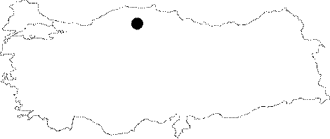
Region: |
Black Sea | |||
|
Province: |
Kastamonu | |||
|
District: |
Pinarbasi | |||
|
Village: |
Uzla | |||
|
|
||||
 |
||||
| It is located at the end of a bed of a small creek to the east of Covurmatepe 1 Cave. Following a large entrance; it becomes narrower; meandering and leading into a big hall. Of the two branches continuing by narrowing; the western one may reach to the Covurmatepe 1 Cave; but it is too narrow to pass. It was explored and mapped to the 3b standards by BUMAK in 1988. |
| Location: |
| Structural Properties and formation : |
| Research History: |
| Findings: |