|
|
||||
|
|
||||
|
Çovurmatepe 1 |
||||
|
For cave maps and drawings please click on the picture... |
For photographs please click on the photo... |
|||
|
 |
|||
|
Type: |
Vertical Cave | |||
|
Altitude: |
840 m | |||
|
Depth: |
-50 m | |||
|
Length: |
163 m | |||
|
Region: |
Black Sea | |||
|
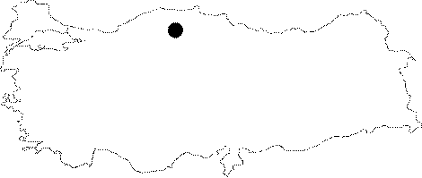
Province: |
Kastamonu | |||
|
District: |
Pinarbasi | |||
|
Village: |
Uzla | |||
|
|
||||
 |
||||
| At the bottom of the small water beds lying between the Covurmatepe Kuylucu Basin and Esekcukuru-1 Basin are five small caves. The most western one is called "Covurmatepe Cave 1". The width of the gallery which is continuously meandering gets as low as 20-30 cm at some places. It enlarges as it advances toward the bottom and the edges of the rocks become sharpened. Inflow of water is very low even in summer. The branch combining with the main gallery at 36th m of the cave has much clearer water. Not allowing to pass as it gets narrower due to travertines; it is likely that this branch is connected to the Covurmatepe 2 Cave. It was explored and mapped to the BCRA 3c standards by BUMAK in 1989. |
| Location: |
| Structural Properties and formation : |
| Research History: |
| Findings: |