|
|
||||
|
|
||||
|
Çokur Kar Düdeni |
||||
|
For cave maps and drawings please click on the picture... |
For photographs please click on the photo... |
|||
|
 |
|||
|
Type: |
Vertical Cave | |||
|
Altitude: |
m | |||
|
Depth: |
-12 m | |||
|
Length: |
m | |||
|
Region: |
Southeastern Anatolia | |||
|
Province: |
Adiyaman | |||
|
District: |
Kahta | |||
|
Village: |
||||
|
|
||||
 |
||||
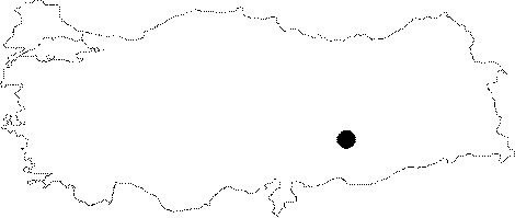
| The exact location is unknown; but known that it is in the neighbourhood of the Nemrut Mountain. It was explored and mapped by E. Gilli and J.C. Peyre during the Eynif 1997 survey by French cavers. |
| Location: |
| Structural Properties and formation : |
| Research History: |
| Findings: |