|
|
||||
|
|
||||
|
Çitrik Ini |
||||
|
For cave maps and drawings please click on the picture... |
For photographs please click on the photo... |
|||
|
 |
|||
|
Type: |
Vertical Cave | |||
|
Altitude: |
m | |||
|
Depth: |
-14 m | |||
|
Length: |
m | |||
|
Region: |
Aegean | |||
|
Province: |
Mugla | |||
|
District: |
Yatagan | |||
|
Village: |
Merkez | |||
|
|
||||
 |
||||
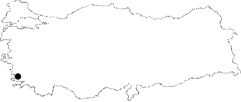
| It lies on the Hacibekir Ridge; about 2.5 km east-northeast of Yatagan. Like Sariotluk; there is an outflow of vapor from this cave. Early in the morning (in February); it is possible to see vapor rising 2-3 m high from the mouth. The entrance is 150x35 cm; and the bottom becomes so narrow that it does not allow any passage. Presence of vapor indicates that the cave is the chimney of a big joint system opening to the surface. It was explored and mapped to the BCRA 1a standards by BUMAK in 1986. |
| Location: |
| Structural Properties and formation : |
| Research History: |
| Findings: |