|
|
||||
|
|
||||
|
Çamurlu |
||||
|
For cave maps and drawings please click on the picture... |
For photographs please click on the photo... |
|||
|
 |
|||
|
Type: |
Vertical Cave | |||
|
Altitude: |
m | |||
|
Depth: |
-60 m | |||
|
Length: |
m | |||
|
Region: |
Mediterranean | |||
|
Province: |
Mersin | |||
|
District: |
Anamur | |||
|
Village: |
Çamurlu | |||
|
|
||||
 |
||||
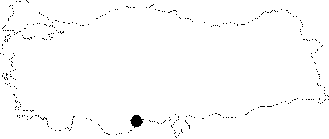
| It lies on the side of the road running to Atanbogazi in the Camurlu Plateau of the Anamur District. A -50 m free drop leads into the cave. The floor is like a steep scree; and it ends up at -60 m. It was explored by BUMAK. |
| Location: |
| Structural Properties and formation : |
| Research History: |
| Findings: |