|
|
||||
|
|
||||
|
Culfa Keleri 1 |
||||
|
For cave maps and drawings please click on the picture... |
For photographs please click on the photo... |
|||
|
 |
|||
|
Type: |
Horizontal Cave | |||
|
Altitude: |
1780 m | |||
|
Depth: |
m | |||
|
Length: |
100 m | |||
|
Region: |
Mediterranean | |||
|
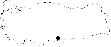
Province: |
Adana | |||
|
District: |
Pozanti | |||
|
Village: |
Dagdibi | |||
|
|
||||
 |
||||
| Location: It is located on the western shore of the Camliköy Settlement on the Mazmili Highland; Dagdibi Village of the Pozanti District of Adana. It is a common name given to the region extending between Karanfil Mountain-Yelatan Plain-Sarimsak Mountain and Dagdibi Village. |
| Structural Properties and formation : Basically it consists of a fossil; horizontal and zig zag gallery. The bottom has a rough soil surface except the sandy area at the entrance zone. Dry travertines through the final zone of the cave are noticeable. It ends up with a small room; following a slight descent. |
| Research History: It was explored by MAD in 1991; and mapped to the BCRA 3c standard. |
| Findings: |