|
|
||||
|
|
||||
|
Culakini |
||||
|
For cave maps and drawings please click on the picture... |
For photographs please click on the photo... |
|||
|
 |
|||
|
Type: |
Vertical Cave | |||
|
Altitude: |
1180 m | |||
|
Depth: |
-32 m | |||
|
Length: |
38 m | |||
|
Region: |
Mediterranean | |||
|
Province: |
Isparta | |||
|
District: |
Egirdir | |||
|
Village: |
Akdogan | |||
|
|
||||
 |
||||
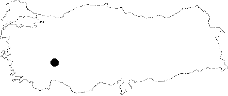
| It lies a little above Kizilalan Mevkii to the southwest of the Akdogan Village. It was developed vertically along a nearly north-south directed fault within very pure Cretaceous aged limestones. The bottom is covered with blocks of rocks and debris. The walls are partly adorned with dripstones. Mountain crows (Corvus spp.) locally called "Cula" nest on the steep walls of the cave. It was explored and mapped by MTA. |
| Location: |
| Structural Properties and formation : |
| Research History: |
| Findings: |