|
|
||||
|
|
||||
|
Cula Deligi |
||||
|
For cave maps and drawings please click on the picture... |
For photographs please click on the photo... |
|||
|
 |
|||
|
Type: |
Horizontal Cave | |||
|
Altitude: |
1360 m | |||
|
Depth: |
-26 m | |||
|
Length: |
44 m | |||
|
Region: |
Central Anatolia | |||
|
Province: |
Konya | |||
|
District: |
Beysehir | |||
|
Village: |
Kizilca | |||
|
|
||||
 |
||||
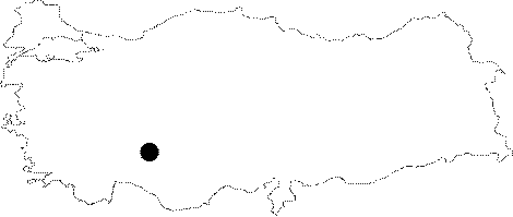
| Location: It is located on the northwestern slope of Karadag; immediate north of the Kizilca Village. An ancillary road deviating from the Beysehir-Seydisehir road leads to the Kizilca Village; passing by Kavakköy and Yeniceköy. From this village; it can be ridden till the Pinarbasi springs; and then the cave is reached by a half-an-hour walk. |
| Structural Properties and formation : Located on the nothwestern slope of Karadag; it was formed within the Cretaceous limestones. The entrance of the cave drops into a -4 m descent; which is followed by a second steep descent of -12m. Located on the vadose zone; it is almost dry. |
| Research History: It was explored and mapped by MTA in 1992. |
| Findings: |