|
|
||||
|
|
||||
|
Cingirli Kuyu |
||||
|
For cave maps and drawings please click on the picture... |
For photographs please click on the photo... |
|||
|
 |
|||
|
Type: |
Vertical Cave | |||
|
Altitude: |
1130 m | |||
|
Depth: |
-46 m | |||
|
Length: |
m | |||
|
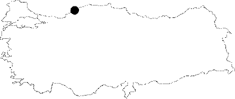
Region: |
Black Sea | |||
|
Province: |
Karabük | |||
|
District: |
Safranbolu | |||
|
Village: |
Ovacuma | |||
|
|
||||
 |
||||
| Also known as Cingilli Kuyu, it was discovered by BUMAK. It can be accessed through an off-road ride from Uluyayla to Cirkince Mevkii; followed by a climb on the hill and through a forest for 15 minutes. It is like a 46 m shaft; and it was mapped to the 2a standards by BUMAK. |
| Location: |
| Structural Properties and formation : |
| Research History: |
| Findings: |