|
|
||||
|
|
||||
|
Ceneviz 2 |
||||
|
For cave maps and drawings please click on the picture... |
For photographs please click on the photo... |
|||
|
 |
|||
|
Type: |
Cave | |||
|
Altitude: |
150 m | |||
|
Depth: |
m | |||
|
Length: |
163 m | |||
|
Region: |
Marmara | |||
|
Province: |
Tekirdag | |||
|
District: |
Saray | |||
|
Village: |
Bahçeköy | |||
|
|
||||
 |
||||
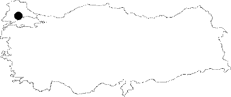
| The Ceneviz Cave lies 5 km northwest of the Bahcecik Village; 13 km northeast of the Saray District while the Ceneviz 2 Cave is situated near to that cave. It was reported by BUMAK that it is located on an active zone. A creek resurging from a siphon inside the cave disappears in another siphon passing throughout the cave; and probably joins the Lala Creek as it is the case with the active part of the Ceneviz Cave. The area between Bahceköy and Aksicim where these caves are located and a major part of the calcareous formation including the Kiyiköy-Saray- Pinarhisar triangle are loaded with oak trees. |
| Location: |
| Structural Properties and formation : |
| Research History: |
| Findings: |